Published in Nature Communications, the study offers new insights into predicting natural hazards and their impacts. "Earthquakes are among the best-studied geohazards," explains geologist and co-author of the study Christoph von Hagke, of the Paris Lodron University of Salzburg (PLUS). While it’s well known that river disruptions, like dam collapses, can be disastrous, it was largely unknown that earthquakes could induce river avulsions, especially in delta estuaries. "This applies even to a river as significant as the Ganges", von Hagke notes.
A modern-day earthquake of this magnitude in Bangladesh, one of the world's most densely populated areas, could trigger flooding, destabilise sand deposits, and cause severe ground shaking, affecting millions living in the Ganges floodplain.
Digging deep
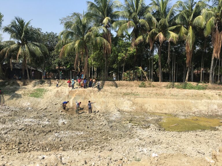
The research team reconstructed the ancient earthquake and river avulsion by analysing sediment layers. The sustained shaking forced pressurised sand into overlying clay, forming vertical sand dikes or "seismites." These indicators, found globally, helped pinpoint the earthquake's magnitude and epicentre.
We discovered extensive sand dikes, 30-40 centimetres wide, breaking through 3-4 meters of clay, located over 180 kilometres from the nearest probable seismic zones, suggesting a prehistoric earthquake of magnitude 7-8", says von Hagke.
The research, involving multiple scientific disciplines, underscores the importance of understanding past geological events to improve predictions of future natural disasters.
Other Highlights this month:
-
Marseille researchers work towards personalised medicine for pancreatic cancer
- “Eco-Emois”: a three-episode podcast produced by the ULB focuses on youthy and their feeling about the climate crisis
- The EC awards SUR's project exploring the consequences of marine plastic pollution on biodiversity
- Two researchers from the University of Stockholm, leading a huge expedition in Greenland to study melting glaciers
